The Grip of Cleaton
The history of Westray is told in two small volumes. One is its telephone directory, with its handful of names, many of which seem to be Old Norse, and the other of which is the Ordnance Survey map, with its ancient place names.
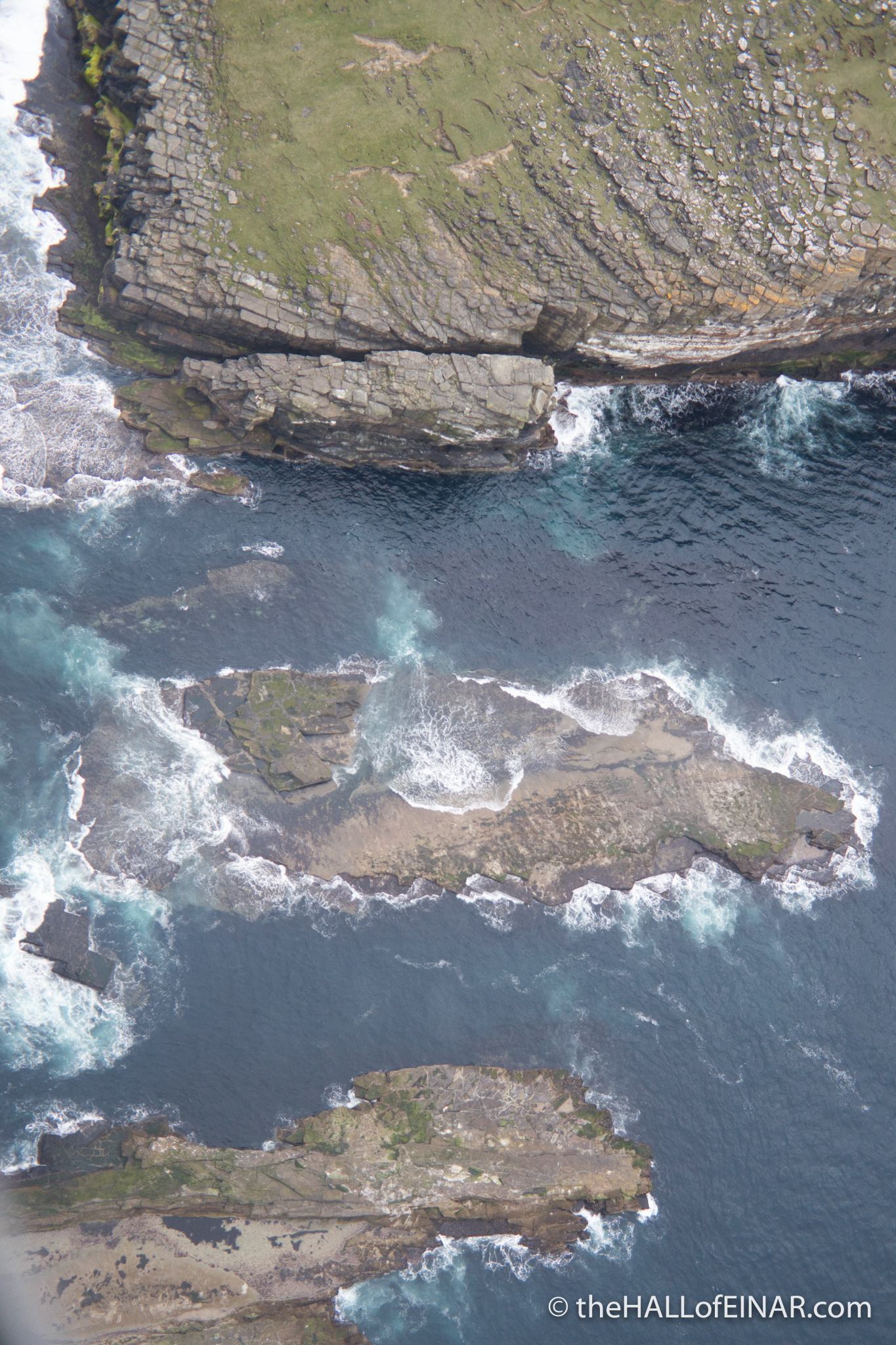
Here’s the Grip of Cleaton and the rocks below it just off Noup Head. The ‘Grip’ is the chasm in the headland.
More Aerial Photography
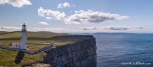 Lighthouse shadows I had an enjoyable time flying a drone this summer. I only set it up a few times, as I… read more
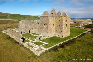 Noltland Castle I've wanted to take a decent photograph of Noltland Castle ever since I first saw it, as I struggled up… read more
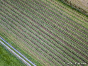 Fields like corduroy I love the hay and silage fields on Westray. From above they look just like corduroy, with their parallel cords… read more
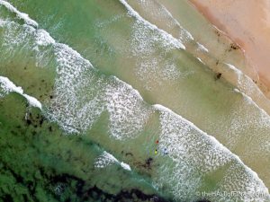 Grobust Grobust is one of my favourite beaches on Westray. Can you see the bodyboarders with their bright boards? I love… read more
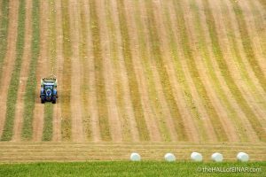 Silage and Hay I've enjoyed seeing the meadows being cut on Westray this summer and then being baled and wrapped. The skill of… read more
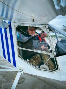 A flying visit Our friend is coming out to Westray for a visit today. He's flying his light aircraft over from the Orkney… read more
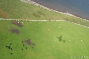 Flying shadows A trip on a light aircraft gives a wonderful perspective of Orkney. Here there are cattle, sheep and our shadow. read more
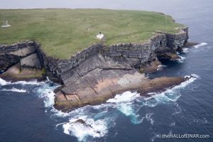 The Brough of Birsay from the air One end of the Brough of Birsay in Orkney is very different from the other. read more
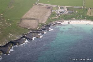 The Bay of Noup The Bay of Noup looks to have beautiful sand on this rocky and rugged coastline. read more